ArcGIS Pro: Seychelles Parks and Gardens Authority introduced to latest GIS software
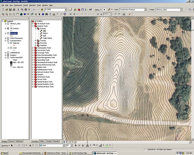
ArcGIS Pro is a full-featured professional desktop Geographical Information Systems (GIS) application. (FHKE, Flickr) Photo License: CC BY-SA 2.0
 Send to Kindle
(Seychelles News Agency) - With the aim of becoming more efficient in the management of the Seychelles Parks and Gardens Authority (SPGA), the organisation as well as other government institutions have embarked on an online ArcGIS Pro course, a top official said on Monday.
ArcGIS Pro is a full-featured professional desktop Geographical Information Systems (GIS) application and the local training is being conducted by representatives of the College of Esri based in South Africa at the SPGA headquarters at Orion Mall.
The chief executive of the SPGA, Allen Cedras, told reporters that with the new GIS application "there will be efficiency in the management of the parks SPGA has under its responsibility as well as better storage of metadata."
The software allows its users to explore, visualise and analyse data, create 2D maps and scenes as well as share their work on ArcGIS Online or their portal.
Seychelles, an archipelago in the western Indian Ocean, already has a GIS centre at the Ministry of Habitat and Lands as well as that of the environment.
Cedras said that SPGA wanted to join the digital realm and that this is the most modern way to keep track of what is going on and what information there is there."
The conservation authority is charged with managing 14 specific national parks and protected areas as well as keeping detailed information of the sites.
The new software will allow users to upload and update their data in real-time.
The training is being done in collaboration with the Global Environment Fund (SEF) of the United Nations Development Programme (UNDP) under the Ridge to Reef project.
In addition to SPGA officers with GIS background, participants taking part are from the Ministry of Habitat and Lands, the Seychelles Fishing Authority, the Department of Climate Change as well as the Departments of Agriculture and Environment.
For five days, participants will learn about mapping, 3D dimensions, and visualisation among other topics related to the software.
The head of terrestrial research at the SPGA, Nathalie Dufresne, a participant at the training session, said that using the software will help them implement their existing protocols.
"This is a very professional software that I am very happy we finally have; we can do everything on it such as biodiversity mapping," she said.
Dufresne added that the SPGA has a research strategy and "plans to release soon which will address national and marine parks in their entirety and set a standard for all our parks."


